• Main Water Sources: Mississippi River, Gull Creek & Cold Springs
• Water Outlet: Mississippi River
• Water Temperature: By July water temperaatures are around 80° on the surface, in the 60s below 20 feet and in the 50s below 40 feet.
• Surface Area: 3850 acres
• Length: 5.1 miles
• Shoreline - Not Counting Islands: 55 miles
• Shoreline - Counting Islands: 163 miles
• Perimeter: 30.7 miles
• Width: 2.3 miles
• Maximum Depth: 102.6 feet
• Mean Depth: 27.7 metres
• GPS: N45°55', W76° 48'
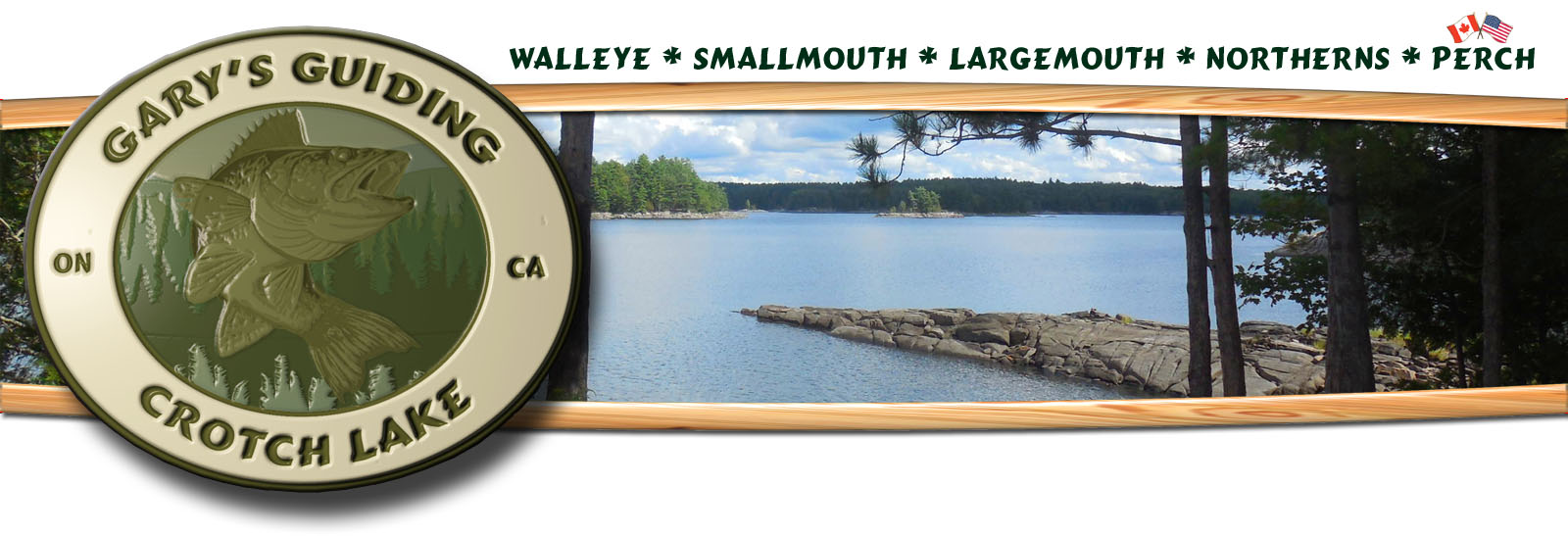
• Fish Species: Walleye (Yellow Pickerel) Yellow Perch, Smallmouth Bass, Largemouth Bass, Northern Pike, Whitefish, Ling (Burbot), White Sucker, Rock Bass, Fall Fish (main feeder fish), Catfish, Pumpkinseed & Bluegill (Sunfish).
• New Species: Crappie have started showing up but numbers are still very low.
• Water Quality: Water quality in Crotch Lake is very good. The average clarity depth was 15 feet indicating Crotch Lake as a moderately enriched or mesotrophic lake.
I only give out detail maps of the fishing hotspots to people that hire me to guide.
• Printable Map of Crotch Lake (.pdf)
• Printable Contour Map of Crotch Lake (.pdf)

 Contact/Rates/Home